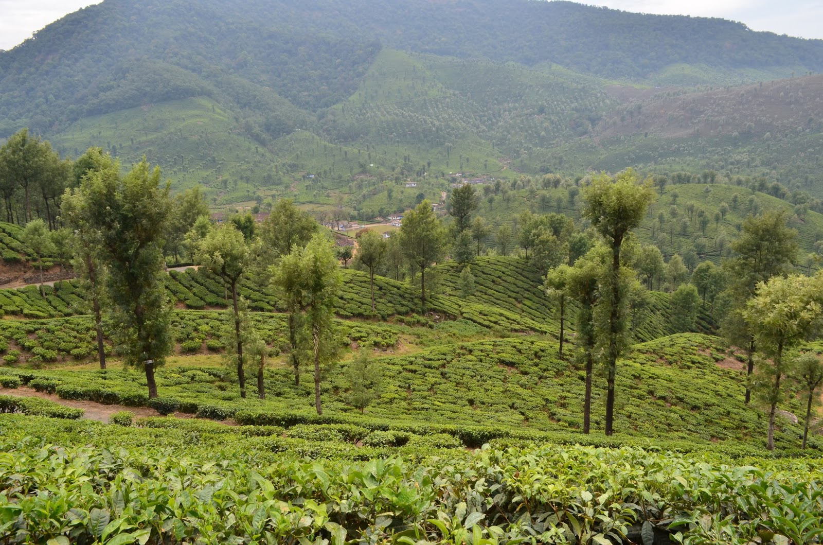
Valparai is a Hill station located at 3500m above sea level in Westernghats .
Known for its Tea/Coffee Plantation,Beautiful view points, Tea estates, dams/reservoirs and grass lands , Valaparai is one of the most attractive tourist spot near Pollachi/Coimbatore.
How to Reach/Route map:
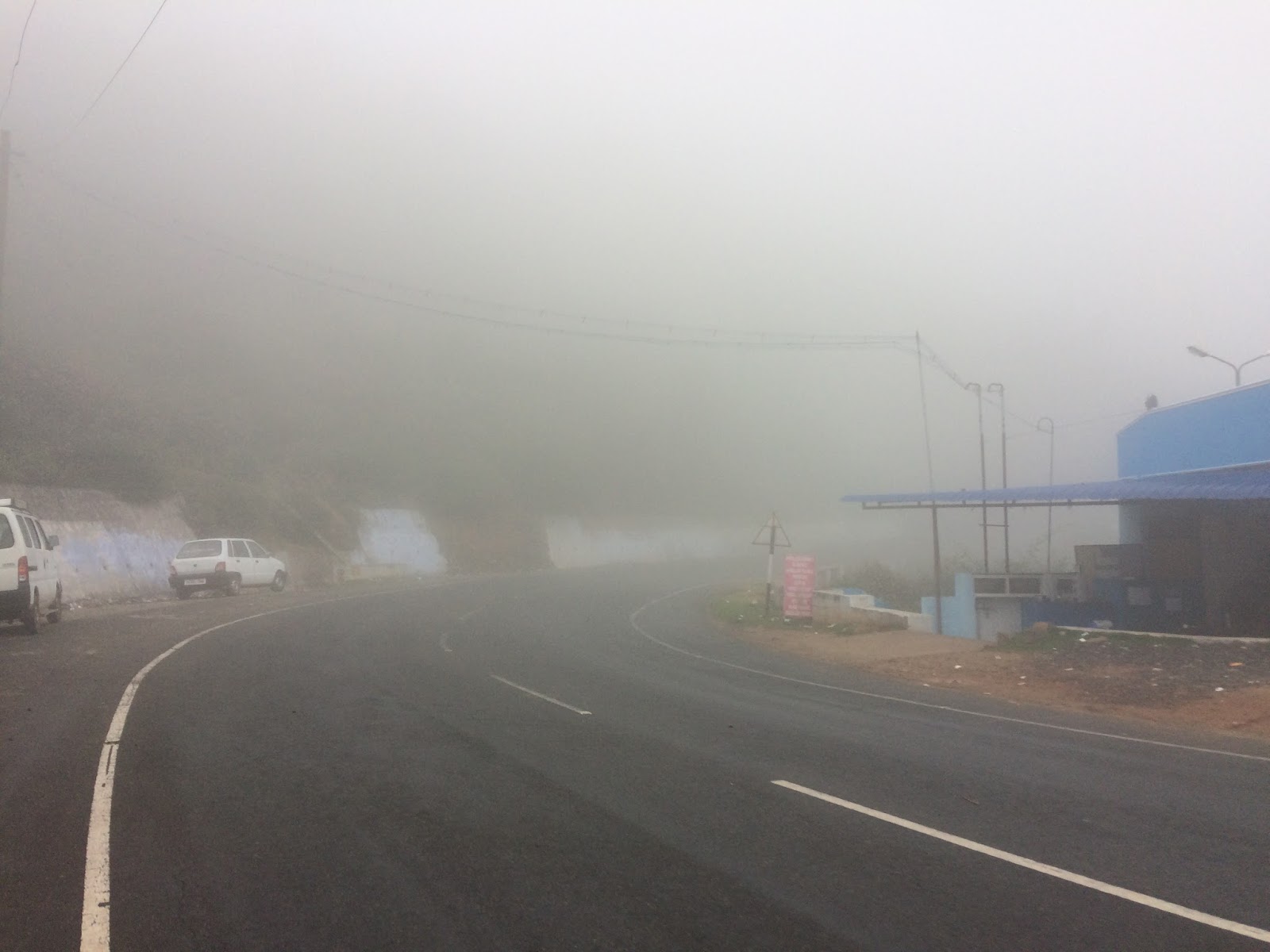
- Pollachi is the nearest town to reach Valparai from Tamilnadu. From Pollachi , travel towards Aazhiyar Dam and from the dam, the hill route starts with 40 Pin bends.
- From Cochin/kerela, you can travel through Vazhachal - Valparai forest route which is a serene and beautiful road trip (Chalakudy - Athirapally- Vazhachal - Sholayar dam - Valparai)
Nearest town: Pollachi
Nearest railway station/Airport: Coimbatore
Hill route starting point - Aazhiyar dam
Entry fees will be collected near Aazhiyar dam
Places to Visit:
- Valparai tea estates (the whole place i meant :) )
- Monkey falls (on the way to valparai from Aazhiyar dam)
- Loams view point from 9th hair pin bend
- Balaji Temple
- Neerar Dam (No proper roads and requires entry ticket)
- Chinna Kallar
- Sholaiyar dam
- Akkamalai (required special permission and a SUV/jeep) - yet to explore this place
Few other places would be Athirapally falls and Vazchal falls (you may need to plan better for a round trip and requires permission into the forest road. The road is open from 9AM to 5 PM(kindly check on the timings)
Lets get into our trip. We planned for a bike ride to Topslip from Coimbatore and unfortunately bike was not allowed inside Topslip and changed our route to Valparai. We took Sethumadai- Kottur - Aaliyar dam route
View of Aazhiyar dam

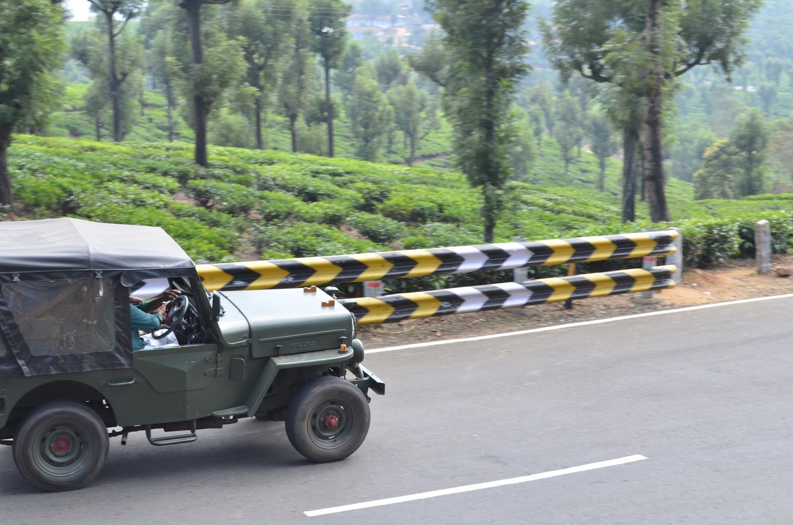
Curved Roads

Pin bends


A warm welcome from Tea estate


Evergreen Hill roads

We planned to reach Sholaiyar dam and then planned to take Vazhachal forest route. Since we lost time visiting top slip and the Valparai - Vazhachal route is open only during day time, we changed the plans inbetween and tried to explore in and around Valparai itself
Sholaiyar dam


From Sholaiyar dam, we planned to visit Balaji temple and the route is serene


Unfortunately the temple was closed since we are late by 30 min (around 12.30)
Balaji temple is open till 12 and then in the evening around 3PM.
Then we started exploring other routes.


Neerar Dam
There are two Neerar dams - Melneerar dam and Kizneerar dam (upper and lower respectively). We are allowed only to the lower dam, since some repair work was happening in upper neerar dam.


From neerar dam, there is a tunnel through which the rain water flows to Sholaiyar, Parambikulam and to various places. The dam gatemen mentioned the tunnel length was 8km digged inside the mountain
Few Wildlife spotted


Elephants, Gaur/Bison,Niligir Thar (Varayadu in tamil) are most easily spotted wildlife.
Heard from the locals, Elephants and Cheetas visit very often early morning and late evenings.
Few reference sites incase if you are planning for a trip
http://tamilnadu-favtourism.blogspot.in/2013/05/valparai-places-of-interest-iii.html
<<<<<<<<<<<<<<<<<<<<< Trip is life >>>>>>>>>>>>>>>>>>>>>>>>>